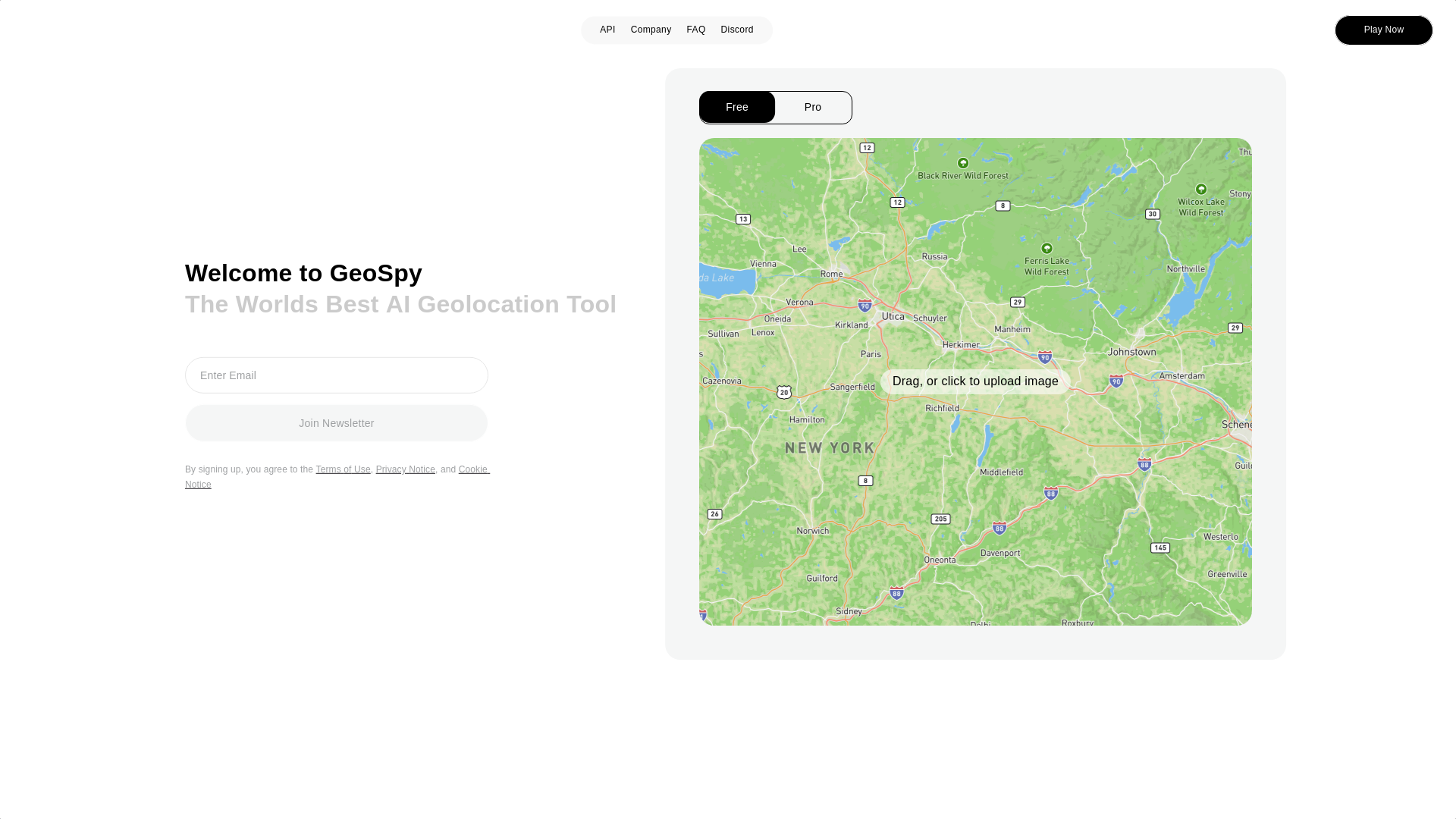
Introducing GeoSpy AI: Advanced Photo Geolocation and Intelligence Tools
GeoSpy AI is a powerful AI-driven platform designed to provide advanced tools for photo geolocation and intelligence analysis. By leveraging cutting-edge artificial intelligence, it enables users to quickly and accurately extract geospatial data from images, offering insights into the location, environment, and context of photos. Whether you’re in the security, research, or investigative field, GeoSpy AI offers a suite of tools that streamline the process of identifying locations and gathering crucial intelligence from imagery.
GeoSpy AI: Main Functions
Photo Geolocation
Esempio
Analyzing a photograph of a landmark to determine its exact coordinates.
Scenario
A security professional uses GeoSpy AI to identify the location of a suspicious image posted on social media, allowing authorities to respond quickly to potential threats.
Bulk Image Analysis
Esempio
Bulk processing of multiple photos to identify their locations simultaneously.
Scenario
An investigative journalist uses GeoSpy AI to process hundreds of images from a conflict zone to gather location data efficiently, helping map out the situation in real-time.
Geospatial Intelligence
Esempio
Utilizing AI to extract geospatial intelligence from environmental elements in a photo.
Scenario
A researcher employs GeoSpy AI to analyze environmental cues in photographs, such as terrain and vegetation, to build a geographic profile of a region for environmental studies.
GeoSpy AI: Ideal Users
Security Professionals
Security professionals can leverage GeoSpy AI to analyze images and locate potential threats, enabling quicker and more precise responses in critical situations.
Researchers
Researchers benefit from GeoSpy AI’s ability to analyze environmental features and extract geospatial data from photos, aiding in academic studies and field research.
Investigative Journalists
Investigative journalists can use GeoSpy AI to quickly process and analyze photos from conflict zones or other sensitive areas, helping them verify sources and locations more efficiently.
Andamento Visite nel Tempo
- Visite Mensili348,964
- Durata Media Visita00:01:01
- Pagine per Visita2.16
- Tasso di Rimbalzo51.70%
Geografia
- United States14.15%
- China10.31%
- United Kingdom7.43%
- Canada7.29%
- France6.52%
Origini del Traffico
How to Use GeoSpy AI
- 1
Step 1: Create an Account
Sign up on the GeoSpy AI platform to create an account and gain access to the geolocation tools.
- 2
Step 2: Upload Images
Upload one or more photos for analysis and choose the specific tools or functions needed, such as bulk image analysis or geospatial intelligence extraction.
- 3
Step 3: Analyze and Export Data
Review the results, which include geolocation data and other relevant intelligence, and export them for further use.
Frequently Asked Questions
Geospy AI Prezzi
Per i prezzi più recenti, visita questo link:https://geospy.ai/pricing
Basic Plan
$29/month or $299/year
Access to basic geolocation tools
Analyze up to 100 images per month
Email support
Pro Plan
$79/month or $799/year
Unlimited image analysis
Access to advanced geolocation tools
Priority email support
Bulk image processing
Enterprise Plan
Custom pricing
Tailored solutions for large organizations
Dedicated support team
Custom features and integrations


